IMPORTGEIMAGE Brings current Google Earth view into AutoCAD as raster image. Use this command to georeference your DWG model data to correct position on earth’s surface.
IMPORTGEMESH Brings elevation data in current Google Earth view into AutoCAD as a mesh.
GETIME Attaches time span information to AutoCAD entities which will be honored by the time tool available in Google Earth.
PUBLISHKML Exports your 3D DWG model space entities to an external file for use within Google Earth.
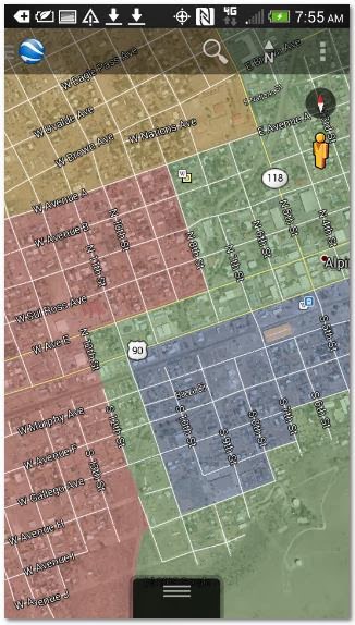
Works on your mobile device as well:
Works on your mobile device as well:


No comments:
Post a Comment